Environment
Typhoon Krosa threatens the Central
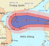
At 13 o'clock on October 31, the location of the center of the storm was about 18.0 degrees north latitude; 123.1 degrees east longitude, on the northeastern coast of Lu…
Browse ScienceInfo articles and explainers related to East Sea.
198 published items.
At 13 o'clock on October 31, the location of the center of the storm was about 18.0 degrees north latitude; 123.1 degrees east longitude, on the northeastern coast of Lu…
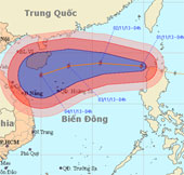
Early this morning (November 1), hurricane KROSA crossed Lu-Dong Island (Philippines) into the northeastern area of the East Sea - the storm No. 12.
Currently, a storm is operating in the Eastern Philippines and has an international name as NARI.
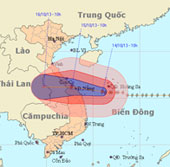
Due to the influence of the storm circulation number 11, at Ly Son island station, there was a strong wind of 19m / s (level 8), shocking 25m / s (level 10).
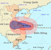
Due to the influence of the 11th storm circulation, at Ly Son island station, the strong wind of 19m / s (level 8) was measured, shocking 28m / s (level 10).
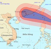
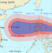
There is a very strong storm currently operating in the northeast of the island of Luke (Philippines) and the international name is Usagi.
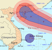
At 01:00 on 12/8, the location of the storm center is about 16.2 degrees Vi Bac; 122.2 degrees Kinh Dong, on the southeastern region of Lu - Dong (Philippines).
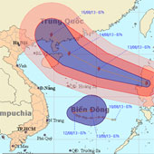
At 07:00 on 12/8, the location of the center of the storm was about 16.6 degrees north latitude; 120.9 degrees Kinh Dong, on the mainland of Lu - Dong Island (Philippine…
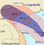
After entering the East Sea, storm Jebi is getting stronger. The storm is expected to sweep through Hainan Island (China) with a strong intensity of level 10 before ente…
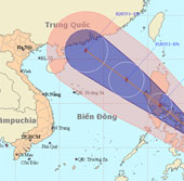
At 7 o'clock on June 29, the location of the center of the storm is about 11.5 degrees North latitude; 125.4 degrees Kinh Dong, in the central region of the Philippines.…
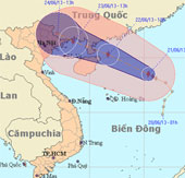
At 13 o'clock, the location of the center of the storm is about 18.5 degrees north latitude; 115.4 degrees Kinh Dong, about 400 km from Hoang Sa archipelago to the East…
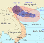
At 04 hours on June 22, the location of the center of the storm is about 19.5 degrees North latitude; 112.3 degrees Kinh Dong, on the eastern area of Hainan Island (Ch…
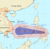
At 1 hour on December 26, the location of the center of the storm was about 10.6 degrees North latitude; 124.9 Kinh Dong, on the north of Min Da Nao Island (Philippines).
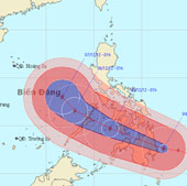
At 01:00 on December 4, the location of the center of the storm is about 7.6 degrees north latitude; 127.3 degrees east longitude, right on the east coast of Min island…
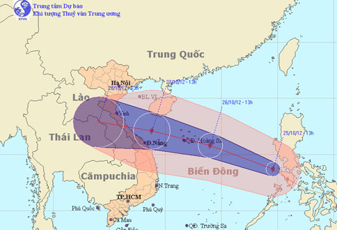
At noon today (October 25), Typhoon Son Tinh went into the East Sea and became the 8th storm to operate on this sea.